Armadale Settlers Common
Armadale Settlers Common (the Common) in Bedfordale is a 383-hectare bushland reserve, of which approximately 287 hectares is vested in the City of Armadale for the purpose of 'parks and recreation'. The Common lies on the Darling Scarp (Katta Moorda) and forms a part of the broader Darling Range Regional Park.
The area is important for flora conservation, with a total of 318 plant species found in the Common, along with two 'Declared Rare and Priority Flora Species'. A diverse array of fauna and flora can be observed all year-round.
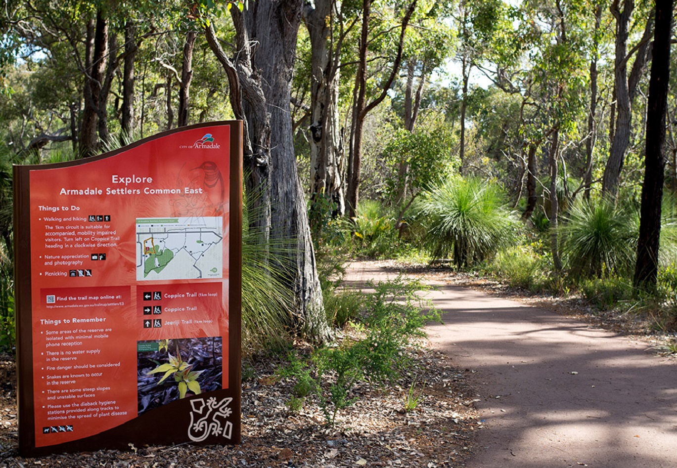
Much of the bushland is in good condition and its network of walk trails invites recreational activities such as walking and hiking, orienteering, nature appreciation, picnics, exercising and nature photography. The trail network provides opportunities of varying difficulty and offers expansive views of the City and large areas of intact vegetation and public use facilities such as the Environment Centre. A wheelchair accessible path and trail network is located in the Armadale Settlers Common eastern parcel.
Armadale Settlers Common is a dynamic cultural landscape which contain a variety of values associated with water, plants and animals. Noongar People would have travelled through the Common probably most often in winter when the ephemeral creeks flowed. The Gnangangarra Creek would have provided the Noongar People with fresh water and favoured foods.
The Common contributes significantly to the backdrop of the Armadale city centre and is part of the Heritage Country Tourist Drive.
The Armadale Settlers Common Working Group, comprising a group of community volunteers, provides oversight of the management of the area. The Armadale Settlers Common Strategic Directions Document also helps guide management activities.